Monthly Archives: Jun 2017

Melkevoll Bretun in Jostedalsbreen

To Melkevoll Bretun campsite in the heart of Jostedalsbreen National Park

Leaving the quiet, spacious and open aire at Skjolden, we continued on the same National Tourist Road Sognefjellet, following the northern coast of Lustrafjorden as we passed through Gaupne and beyond.  The day was blanketed in white with spots of rain.

On the road to Boyabreen

We reached the main town of Sogndal, only an hour and a half away from where we’d been in Flåm quite a few miles ago.  We had hoped to visit a vineyard owner near here, one who was friends with our recent WorkAway hosts in Denmark.  But we couldn’t quite parse the limited address we’d been given and, not being entirely committed to the idea of turning up on a stranger’s doorstep, we didn’t try too hard to find out more.

Glacier Museum - (building approach)

Glacier Museum - (roof terrace)

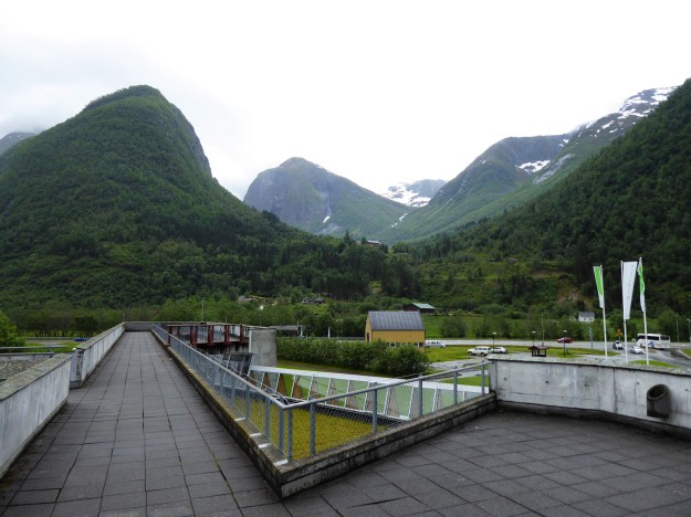
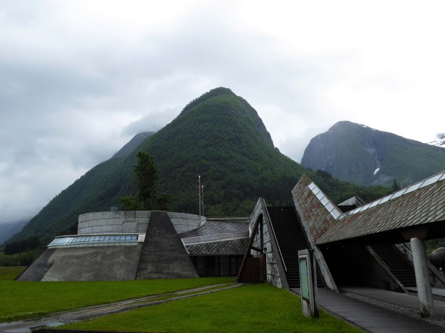
Instead, we stopped in to visit the Norsk Bremuseum, the Norwegian Glacier Museum.  We had seen many photos of the model mammoths and the iconic building in many brochures, but the reality was rather less glossy.  The building was in a sad state of disrepair, with cracks, patches of moss and staining leaks all over the badly-maintained roof, many caused directly by the lack of consideration in the detailing.  It was disappointing up on the roof terrace viewpoint, with poorly laid and broken paviours leading around walkways protected only with low, thin diagonal wire mesh fencing fixed roughly to wobbling galvanised posts.  The building apparently won an architectural award in 1992 and whilst the overall form was quite interesting and innovative, we wondered if the judges only saw photos and drawings without an actual site visit.

Boyabreen - (approach)

Boyabreen - (n with benny)

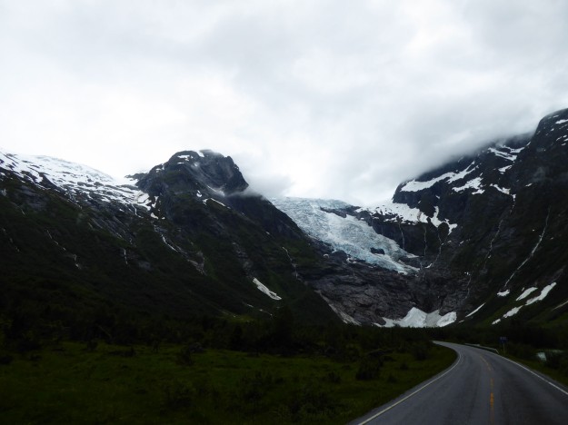
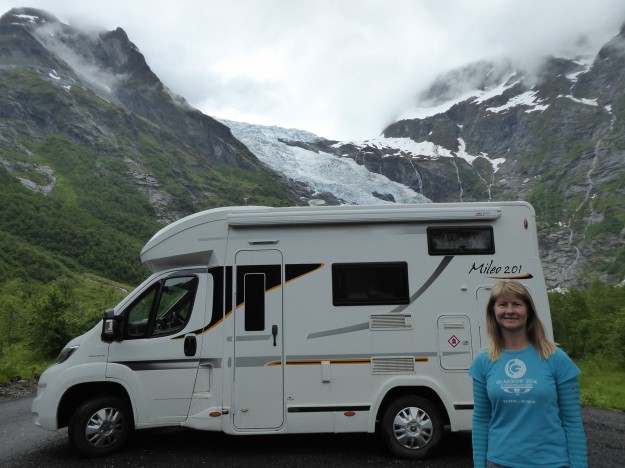
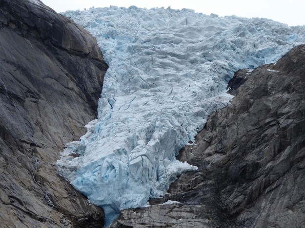
We next stopped in a picnic spot called Bøyabreen, near Brævasshytta, that was positioned only 400m or so from one tongue of the Jostedalsbreen glacier we were now circling around.  Even with sodden monochrome skies above it was an impressive sight, with its cracked, sometimes blue, glacial ice pouring down the valley face. This would have made a great aire to stop in overnight, and several vans were already in place, but we wanted to be on the other side of the glacier, right in the centre of the park, so we kept moving.  We continued through Skei and dropped down steep hairpins to the settlement of Utvik on the edge of Innvikfjorden, the inner finger of the larger Nordfjord.

Melkevoll Bretun - (first view of glacier)

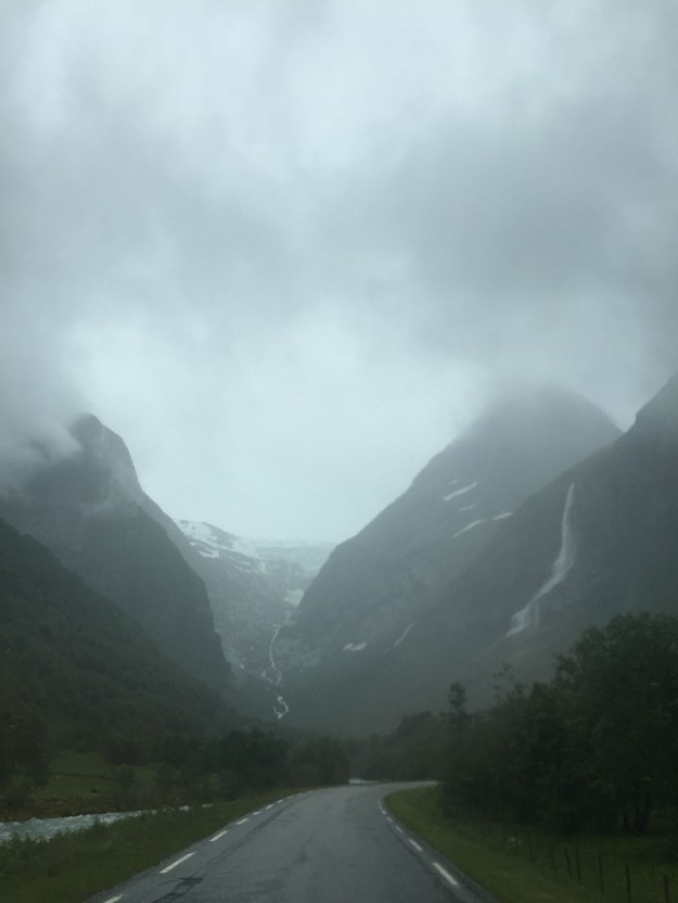
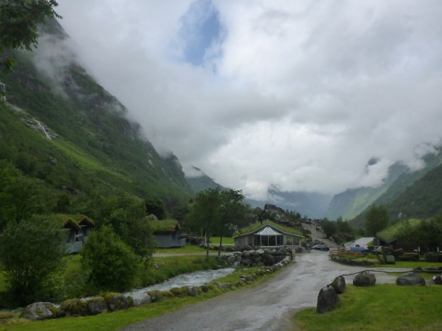
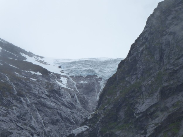
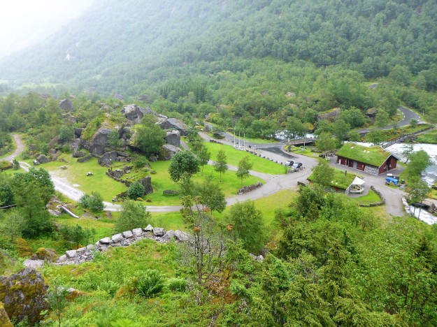
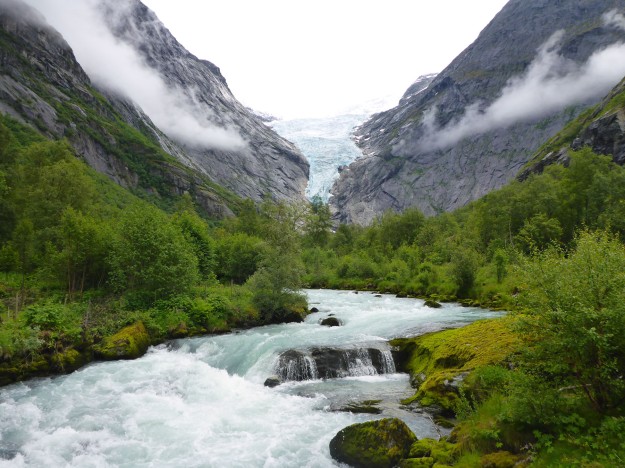
Nordfjord sells itself as the most fjord beautiful in the world, and it may well be, but unfortunately we didn’t see it at its absolute best in the dull greyness.  We followed the water to the village of Olden, where we turned south along a narrow road beside two long, clear lakes.  After a long day’s driving, we eventually arrived into Melkevoll Bretun campsite around 3pm.  For the final few miles of approach we were facing directly down a wild valley with a direct, stunning view up to the Jostedalsbreen glacier behind.  The weather had made everything in camp soft and muddy, removing the immediate shine of a place touted as one of the most beautifully situated campsites in the world.  But it was still a compelling setting, in a cauldron of dark mountains with a view of two glacial tongues and a waterfall.
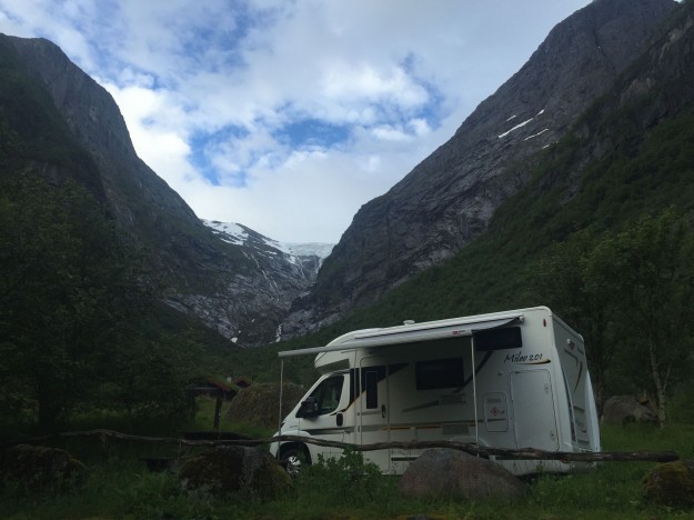
Melkevoll Bretun - (campsite setting)

Melkevoll Bretun - (benny site)
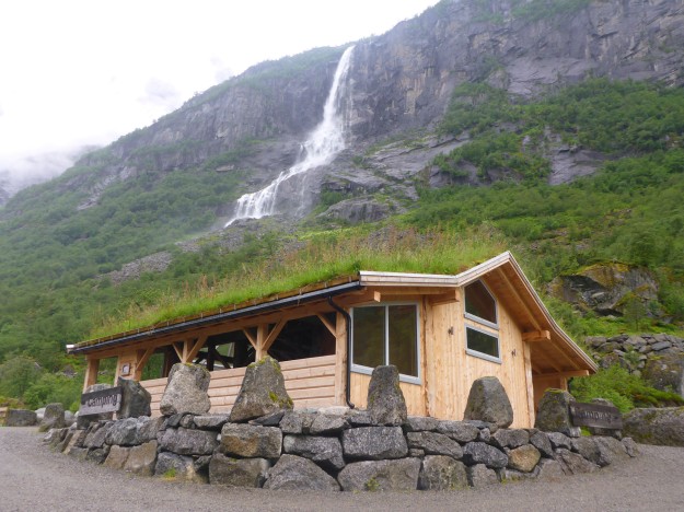
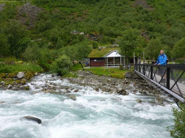
The first thing we noticed was the incredible noise from the mighty Volefossen waterfall right by the camp.  It was flowing much heavier than normal due to the overly wet June, as was the bubbling, frothy river passing through the centre of camp.  The constant roar of the water added a murmuring backdrop of about 40 decibels to the otherwise still air. There were few others here, so we had our choice of pitches and settled into one near to the communal cooking areas and showers, the only hard-standing pitch we could see, rather than be snuggled away in a private corner on a grass site as would normally be our preference.  There was just too much rain falling to be walking far.
Melkevoll Bretun - (writing blog)

Melkevoll Bretun - (communal hut and waterfall)

Melkevoll Bretun - (us in communal area)
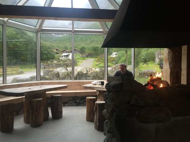
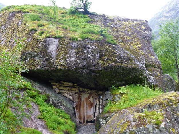
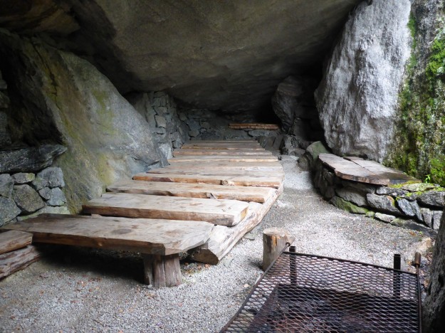
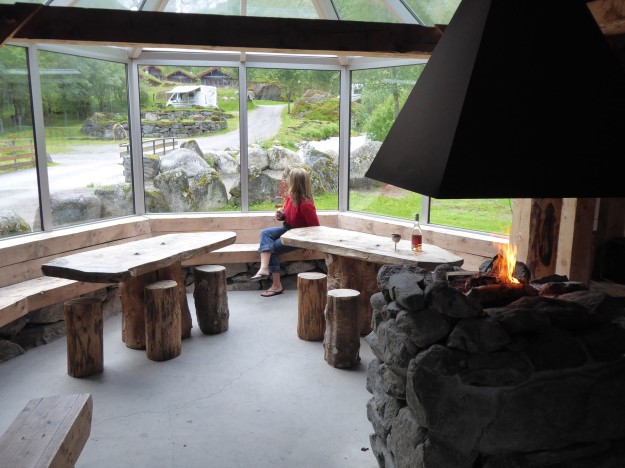
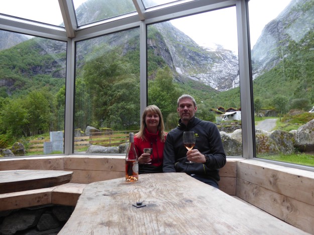
We requested the free sauna be warmed up for 6pm, then explored a little around the site. We sat a while in the Stone Age cave, a wonderful dining and party space that could be hired for functions, seating up to 50.  The central communal cooking area was delightful, with rustic wooden benching and a focal wood fire for light and warmth.  The large gable conservatory offered panoramic views across the camp and up to the Melkevoll glacier.  We had our relaxing hot sauna, where in true Scandinavian style we were joined by several naked men to Nicky’s initial slight awkwardness.  Later, we cooked and ate our dinner by the wood fire, the only people in the cabin this night, all the while enjoying the wonderful glacial views.

Melkevoll Bretun - (stoneage cave entrance)

Melkevoll Bretun - (stoneage cave)

Melkevoll Bretun - (by the wood fire)

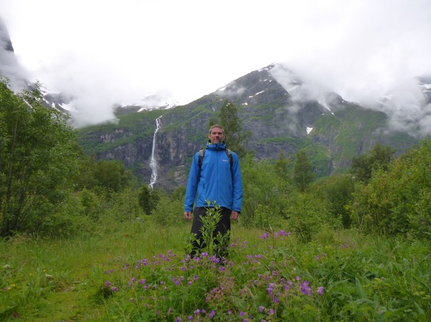
We sat inside much of the following day, catching up with small jobs, writing and doing laundry whilst the skies emptied all that they had on us.  A deep layer of white cloud filled the valley, blocking out the glaciers and much of the surrounding mountains.  The afternoon brought a short break in the deluge, and we took the opportunity to explore around the camp a little more.  We walked around locally, with the ever-present loud monotone of the giant Volefossen waterfall keeping us company. We reached the waterfall viewpoint where we learned its total height was 355m with the largest freefall of water 185m; yet it was only the 45th largest waterfall in Norway.

Melkevoll Bretun - (melkevoll glacier)

Melkevoll Bretun - (campsite overview)

The next day started much like the previous, and we began to wonder if we’d have a dry window of opportunity to fully explore.  But suddenly, just before lunchtime, things began to change and the dense cloud cover broke and began to dissipate.  We jumped at the opportunity walk up past the large hotel to the Briksdal Glacier.  An easy 45 minute walk from the campsite, we started climbing and almost immediately were amazed by the extent of the crowds.  We’d been living in our quiet, private bubble in our gloriously empty campsite, and suddenly there were multiple coachloads of visitors clambering all over our mountain, and even being driven up the route on little green Troll Cars.

Melkevoll Bretun - (valley + river)

Melkevoll Bretun - (a walking)

Melkevoll Bretun - (the river)

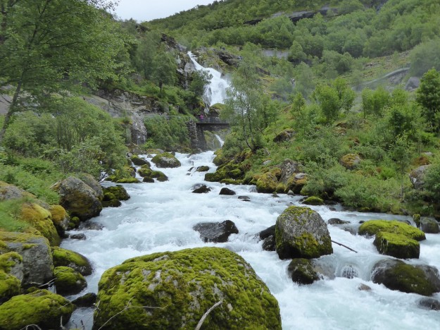
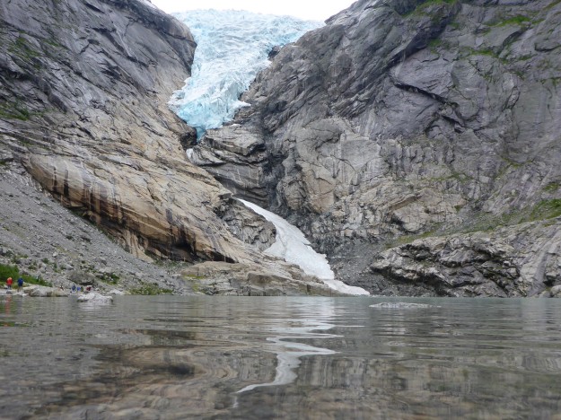
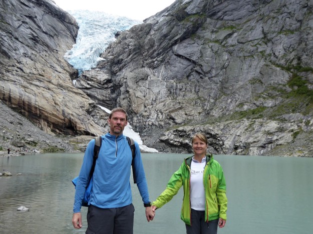
But the day was now bright yet cool and we were approaching a glacier, so couldn’t complain too much.  We dodged the crowds as best we could on the walk up, staying out of range of all carelessly swinging umbrellas.  We tried an alternative side path first to escape the hordes, but were denied progress after around ten minutes of walking by very slippery flat rocks, so had to retreat to re-join the main path.  We continued up to the beach plateau on the shore of a turquoise glacial lake, right below the glacier tongue. It was a stunning sight, and well worth the effort to visit.  We enjoyed taking a few posed photos and doodling about the stones, sucking in the wonderful view.

Melkevoll Bretun - (briksdal glacier with water)

Melkevoll Bretun - (Briksdal glacier)

Melkevoll Bretun - (us at glacier)

That evening we again asked for the sauna to be ready for 6pm and had a wonderfully peaceful hour sitting in the heat, with the occasional quick, and very cold, dip into the nearby river pool sans clothes.  It was doubly refreshing for both the cold shock and the relaxed attitude.  A German gentleman joined me in the sauna and told me his wife had been chatting to a mad Englishwoman who kept jumping in the river; I had to own up to that being my wife, and to me doing the very same.  Rather than judge, he got interested and joined in with the cold, naked dips, so we weren’t the only mad ones in camp.

Melkevoll Bretun - (sauna dipping pool)

Melkevoll Bretun - A on bridge

We ate dinner again in the shared cabin this time in the company of three Swiss couples, who cooked their meal over the communal wood fire, filling the cabin with quite beautiful smells.  It was another fun night with open, clear views to the glacier and lots of wine.  Now that we’d completed the main walk, our time here was coming to a close.  We really couldn’t fault this day as a final farewell to our comfortable, if wet, stay in the beautiful campsite of Melkevoll Bretun.
National tourist Route Sognefjellet from Lom to Skjolden

Leaving our aire in Beitostølen and following the National tourist Route Sognefjellet from Lom to Skjolden

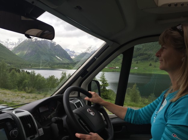
As before, we awoke in Beitostølen to a dry and bright day, the heavy rain having finally stopped after the overnight deluge. We knew this would likely change, so we quickly drove north, then west, where we stopped briefly in Lom to fill up with diesel and to visit their centrally positioned 12th century Stave church.  This one was of similar design to others we’d visited, but the wood was not as blackened by pitch or time; instead it had a lively, burnt-orange hue.  The colour contrasted beautifully with the green hill backdrop and the hint of blue appearing in the otherwise flat grey sky behind.

Lom Stave church - (approach)

Lom Stave church - (side)
We had hoped to climb Galdhøpiggen, Norway’s highest point at 2469m, but the weather had other ideas.  It was looking fairly reasonable in the valley below, but apparently was -4degC on the summit, with blustering snow storms and gale force winds.  It is a difficult climb and would have been a joyless and potentially dangerous hike in those conditions, so we prudently gave it a miss. After lucking out with the weather on our Besseggen Ridge walk the day before, we didn’t want to push our luck.  Instead we kept driving through the now returned light rain, still enjoying the constantly changing sights of the ever-present fjords.

Tourist route - (valley)

Tourist route - (snow drifts)

We continued on the National tourist Route Sognefjellet that stretches from Lom to Gaupne, a road that crosses Norway’s highest pass at 1434m.  We passed by where the peak of Galdhøpiggen should have been visible, but the entire range was buried in moody, fast moving cloud.  The road climbed steadily into the snow-line, back into the muted yellows and browns of wild moorland punctuated with clinging blotches of deep snow.  The road was open and clear, smoothly delivering us past a long series of icy lakes and distant jagged peaks.

Tourist route - (icy lakes)

Tourist route - (moorland snow)

After an hour of similar terrain, we dropped right down a complicated series of tricky hairpins into the town of Skjolden, on the banks of Lustrafjorden, the innermost tip of the huge Sognefjorden.  We were instantly back in lush, green territory with colourful flowers, blue fjords and wildly gushing rivers full to bursting with melt-water.  We located the free aire just outside town on the water’s edge, surprised to find it completely empty, and parked up by our own private picnic table.  Much later that night we were joined by one other van but until then the aire, and its wonderful view, was all ours.

Skjolden - (aire)

A group of luminous runners burst past us just as we were readying to leave, enjoying their run around the fjord coast.  We followed their direction, and crossed a bridge over a roaring river near a row of holiday cottages and apartments to reach the centre.  We wandered around the small town, visiting the tourist office and shops, and managed to refill our depleted drinking water in a nearby café.  Skjolden is a hub for walkers, with many short and long trekking routes passing through the town and the mountains behind.  There was a small campsite on the other edge of town, but other than a few passing cars on the main road through, we saw little sign of life around.

Skjolden - (town view)

Walking the other direction from the aire we found a cruise ship port, suitable for huge ships to sail right into town and dock.  It was a similar set-up to that in Flåm, with a large area for coach parking set adjacent to the dock, ready to pick up and deliver keen passengers onto their tour of choice.  The town was peaceful and still on our visit, but we could easily imagine the difference, bluster and noise when a cruise ship was in town.  We took advantage of the dock’s current emptiness to have a very relaxing, quiet night watching the glistening water in the fjord slowly ebb.

Hiking the Besseggen Ridge

Taking the boat from Gjendesheim to Memurubu and hiking back along the Besseggen Ridge

We got battered and occasionally woken by heavy wind and rains throughout the night, all the while fearing our plans may be a wash-out.  But in the morning we awoke to the vision of a glorious sunburst right across our aire in Beitostølen and the snow-capped mountains beyond.  It was the bright, joyous awakening of a very fine day, with blue skies reaching through the gathered, broken white clouds.  It felt destined that the sun would burn off the cloud in time and we would be treated to a dry and clear day.  After all the rain we’d had, we couldn’t have wished for a better weather window for our planned trek of the famed Besseggen Ridge.

Besseggen Ridge - (morning in aire)

As it was a Saturday morning we had only been able to book a space on the 10.20am boat, the third run of the day, so we had a leisurely start making lunch and readying our gear.  We parked as close as we could to the harbour without having to pay their extortionate parking fee, and walked along the road to the terminal.  Probably just as well we did, as the car-park was full to overflowing with the vehicles of walkers who had managed to secure tickets for earlier boats.  Even with two previous boatloads delivered, there was still a large, colourful crowd of trekkers awaiting, like us, the next boat to Memurubu.  This stop was positioned around halfway along the length of Gjende lake, on the right handside, and was the beginning point for the Besseggen Ridge walk.

Besseggen Ridge - (the lake boat)

Besseggen Ridge - (on the boat)

Our pre-booked ticket worked a charm and the boat was soon off along the lake.  It was incredibly cold on the deck of the boat, with the speed exacerbating the icy winds coming off the glaciers and sliding across the lake at water level.  We were initially regretting our limited choice of clothing options, but once we were off the 20 minute boat ride and the walking began, the sun’s heat took over.  The first kilometre of the climb, up well-built stone steps, was the steepest part and, working hard, we soon had to stop to peel off layers before ascending further.

Besseggen Ridge - (first views)

Besseggen Ridge - (top of first climb)

Besseggen Ridge - (showing the way)

Once up the first steep climb, the ridge opened out onto a wide plateau where we had views of both lakes, inside the mountain range, and below.  We crossed several short patches of calf-high snow, the routes across quite slippery but well worn.  With the sun out and the newly-arrived blue sky as a deep backdrop, the view was simply stunning in all directions; snowy peaks lining the distant horizon, steep mountain walls with patches of snow and trickling waterfalls stood tall over the rippling darkness of the lake below.  We looked at each other and smiled; views like this were the reason why we love to walk in the mountains.

Besseggen Ridge - (panorama)

Besseggen Ridge - (the first plateau)

Besseggen Ridge - (along Gjende lake)

Besseggen Ridge - (patches of snow)

The main challenge of the Besseggen ridge was a scrambling rock climb.  The route along the knife-edge ridge was visible from a few kilometres back on the trail, and we could just make out tiny silhouettes slowly making their way up.  When we reached the base of the ridge we had to hoist ourselves up, over and between large split boulders using any available handholds we could.  This stretch broke up the main trekking a little, allowing for different movements and the working of different muscles.  We could see crowds of other walkers clambering around below us like colourful ants as we worked our way up the rock.

Besseggen Ridge - (approaching the main ridge)

Besseggen Ridge - (the ridge ahead)

Besseggen Ridge - (starting the ridge)

Besseggen Ridge - (scramble begins)

There were several small plateaus where we could rest a while, catch our breath then have it taken away again by the incredible view spread out below us.  The obviously contrasting shades of green-blues between the visible lakes, Gjende and Bessvatnet, was stark; the consequences of varied levels of mineral-rich glacial run-off.  The vibrant greens and yellows of the moss-laden rocks near the summit offered a strong contrast to the icy blues of the lakes.  Small white flowers, a type of glacier buttercup, lined parts of the stony track.  We learned later they are the highest blooming plant in northern Europe, growing on cold mountain peaks up to 2400m high.

Besseggen Ridge - (welcome rest)

Besseggen Ridge - (a brief stop)

Besseggen Ridge - (crossing snow)

The final summit on the ridge was the huge pyramid cairn at Veslfjellnet, at 1743m, where many walkers had chosen to stop and savour the moment.  Shortly after this point, on the descent, we also paused a while near a smaller cairn to have energy-giving snacks and enjoy some people-watching, spotting all the familiar strangers we had been walking near to over the past few hours pass us on the wide, gravelled path leading back home.

Besseggen Ridge - (both lakes)

Besseggen Ridge - (the lakes)

Besseggen Ridge - (lakeside)

We continued down the mountain as the weather suddenly decided it had been kind enough for one day.  The sky quickly clouded over and the whole mountain dulled down to a washed out monochrome as we stomped along the final kilometres.  This last stretch home seemed to drag on and had a few tricky portions, including one smooth granite face that had conveniently been fitted with a thick metal chain to assist descending.  The path twisted and turned all the way back, ending with a long run of stone steps that carried us back to the flat entrance road.

Besseggen Ridge - (a overlooks lake)

Besseggen Ridge - (n on plateau)

The trail-running record for the 15kms of the Besseggen Ridge route is 1 hour 16 minutes, and it was mind-boggling to us how that was achieved.  There were long portions of the route that were definitely not runnable, steep up and down near-vertical climbs of high intensity.  We considered each stretch as we went along, and though we took just over 5 hours to walk it, we thought a time of 2 hours 15 mins would be a very decent performance given the terrain.  To drop another hour off that is just incredible.  We’ll certainly not be breaking that record any day soon.

Besseggen Ridge - (lookoing back)

Rain started spitting as we walked the road back to Benny, parked in our distant lay-by as we objected to paying 150 NOK (about £14) simply to park for the day at the ferry port.  This added an additional 8km to our walk (4km each way) which was already a steep, clambering 15km, but it was a good, flat warm down and leg-stretcher.  As we walked back we were passed by several groups of training nordic cross-country skiers, scooting along at fine pace on their summer wheels.

Besseggen Ridge - (nordic skiers)

We returned to the same aire at Beitostølen to relax and overnight, where we once again got battered by heavy rains for most of the night.  Norway was proving to be a lot wetter than we had expected, but when the weather is fine, there’s simply nowhere better.

Stegastein, Borgund & the road to Gjendesheim

Taking the Aurlandsvegen tourist road to Stegastein, over the mountain pass to Borgund Stave Church & on to Gjendesheim in Jotunheimen Nasjonalpark.

We finally dragged ourselves away from the intoxicating comfort of not moving and left Flåm, saying our goodbyes to the new cruise ship now in the harbour.  We decided not to take the world’s longest road tunnel out of town, but instead to go up and over the mountain, to take in the view from Stegastein.

Stegastein - (fjord view)

Stegastein - (a on bridge)

Stegastein was an award-winning viewpoint constructed at the top of a steep road mainly consisting of many narrow hairpins.  It was made with deep glulam beams and structural glass, the front edge curving down to a foundation in the forest below, but giving the impression from above of cantilevering out over the fjord.  We drove up through layers of wispy cloud that hung in the valley, hoping that the viewpoint would be between layers, thus affording views across the Aurlandsfjord.  It was.

Stegastein - (the glass balustrde)

Stegastein - (n on viewpoint)

We parked up in the happily almost empty car-park and walked over to the viewpoint.  The fjord was moody with light grey clouds and a hanging mist, but the veil enhanced the beauty, in our estimation. The less than perfect weather had kept the crowds away, so we had the viewpoint almost to ourselves; just one other couple, very handy for a mutual exchange of posed photos.  We stood a while and looked out over Aurlandsfjord below, savouring the calm, white-washed stillness of it all, especially when viewed from 650m.

Stegastein - (the viewpoint)

Stegastein - (looking out)

Our road, the Aurlandsvegen mountain road, led us on up and over a steep, high pass, where we reached the altitude of the visible snow line for the first time.  The roads were entirely clear and dry, but there were deep drifts of snow at the side of the road that were higher than Benny.  The landscape had dramatically changed, with vast areas of monochrome moorland and wild patches of dark water now peeking out from behind the snow. We passed Flotvatnet, a partially-frozen lake complete with waterfall on the way, near the highest point of the pass.  A series of further hairpins dropped us back below the snowline and through the trees to the valley floor.

On the road - Aurlandsvegen

Aurlandsvegen Pass - (moorland and snow)

Aurlandsvegen Pass - (snow drifts)

After dropping down the other side of the pass to Lærdalsøyri, we were back in green, tree-lined valleys.  We soon reached Borgund stave church, were we stopped for a while to walk round the site.  There was a small car-park and visitor centre situated around 100m from the beautiful dark timber church, but several tourist buses selfishly stopped and blocked the entire road to let their passengers off directly adjacent to it, rather than have them walk the extensive distance.

Bourgund Stave church - (context)

The triple-nave stave church was a fine example, our favourite to date, with its black wood, steep, triangular-layered roofs and gable-post dragon motifs.  A larger, more modern 19th century parish church now shares the same site, but for us it was dramatically overshadowed by the original in both complexity and detail.

Bourgund Stave church - (approach)

Bourgund Stave church - (entrance)

We followed the tourist road E16 along the valley before cutting left over another mountain pass.  The roads were, as they have been many places in Norway, lined with a rainbow array of lupines; blues, whites, purples and pinks.  Reading up later, we found that the lupines are not planted by choice, but are considered to be self-seeding pests that overshadow and threaten indigenous Norwegian flora and fauna.  Programmes have been initiated by local councils in several areas to try to eradicate them.  But for us, they provided a beautiful splash of colour to the verges as we drove by, alongside the obligatory cow parsley and buttercups.

alley roadside - lupines

We continued into the Jotunheimen nasjonalpark where we passed by our potential aire before arriving at the boat departure point of Gjendesheim.  We had hopes of purchasing single-way boat tickets for the following morning.  Unfortunately, we found their operation only allowed advance purchase on-line, or you could turn up and buy a ticket as you boarded the boat to Memurubu on the day.  The issue with the latter was there are strictly limited places; when the forecast looks reasonable, and definitely on weekends, you need to be queuing an hour beforehand to ensure you get a spot.  There wasn’t any nearby Wi-Fi and we had no phone signal, so we drove along the road until we found a working patch of 3G coverage and quickly darted into a lay-by to complete our purchase.

Gjendesheim - (mountain view)

Gjendesheim - (sunburst)

We returned to settle into the free aire we had previously passed, carefully watching to see if the very changeable weather was going to follow the forecast or not.  But either way, we had now secured our boat tickets – it was on.

Norway – Flåm

Visiting the tourist port of Flåm and riding the Flåmsbana train

After another stormy night with heavy rain, we slipped quietly out of the surprisingly empty aire in Bergenshallen around 10am and headed back around the mountains surrounding Bergen, east in the direction of Voss.

We stopped for an hour in Vossevangen, Voss for short, as we were hoping to organise a cycle ride.  We were very keen to cycle the Rallarvegen route, an 80km mostly downhill off-road route, rising from Haugastøl (1000m) to Fagernut (1343m) then down to Flåm (2m).  We unfortunately discovered that we were still too early in the season, the third week of June, to complete the entire route as the high passes were still blocked with snow.  Disappointing.

Flam - (view from pitch)

We continued, through high-sided valleys and alongside turquoise lakes, on to the cruise ship port of Flåm, where we planned to spend a few quiet days.  We checked into the only real option in town, Flåm Camping, and perched ourselves in a corner plot on a high plateau with spectacular views over the port and surrounding mountains – that’ll do nicely, we thought.  A huge floating hotel was moored in the harbour, utterly dominating the view and town.

Flam - (our camping pitch)

Flam - (breakfast tea spot)

We relaxed a while after our drive to take in the view, before we headed out to investigate the town.  We looked around the interesting Railway Museum, housing informative displays and old railway equipment.  The rest of town turned out to be a collection of souvenir and tax free clothes shops, all geared to serving the needs of the cruise ship passengers who descend on it in swarms, like colourful, waterproof-wearing locusts.  There are predatory tour operators lined up, ready to rush paying guests away for any onshore activities or sight-seeing trips they fancy.

Flam - (railway museum)

The main event here is the Flåm railway trip up the mountain, called Flåmsbana. Touting itself as the World’s most beautiful train journey, it’s a steep 60 minute trip from Flåm up through green waterfall-strewn valleys, and twenty tunnels, to reach the remote train station at Myrdal, 867m above sea level.  This station connects with the main line from Bergen to Oslo, so is often used as a connecting link for cruise ship passengers to move on to visit the cities.  Most visitors in Flåm book a return ticket, taking the train up and back down, to see the valley in both directions.

Flam - (the Flamsbana train)

Despite the online booking system telling us all trains were fully booked, we easily purchased single tickets to Myrdal from the ticket office in the port.  Rather than returning by train, we had the intention of walking the 21km back to Flåm along the old navvies’ road.  We had originally intended to cycle this as part of the Rallarvegen route, but the damp weather and the logistics of bringing our own bikes up made the decision for us – walking back was simpler.

Flam - (hairpins on Rallarvegen)

The weather was quite dull and overcast as we walked down to meet the train, and we expected to get drenched at some point on our return walk.  The train itself was only about half full, at least the carriage we were in was, as only the seats adjacent to a window were in use – the first three carriages were all reserved for cruise ship tour groups.  The low cloud and wet weather precluded fantastic views out of the train, so the journey was rather a disappointment, in comparison to others, but we can’t legislate for weather.

Flam - (flamsbana train)

The in-carriage televisions showed beautiful photos and gave some interesting commentary on the route, including a history of the legends surrounding Huldra; seductive, beautiful forest creatures who lured and tormented miners as they constructed the many tunnels through the mountains.  Halfway up, the train stopped to view a wide, gushing waterfall, and as passengers hopped out to the platform, folk music began to play and a long-haired lady danced provocatively over distant rocks in a flowing red dress, clearly meant to be one from the mythical Hulder race.

Flam - (waterfall stop)

Flam - dancing huldra

We reached the top at Myrdal soon after passing the famous hairpins of the Rallarvegen, the route we would soon be walking down.  The platform was total carnage as we disembarked, as the Bergen-Oslo train was also in the station.  Many people with heavy luggage were trying to ensure they made their connection.  We sat out the rush before walking to the end of the platform and following the well-signed path down into the valley.

Flam - (beginning the walk back)

Flam - (on the Rallarvegen)

Flam - (a on Rallarvegen)

The weather had brightened and warmed, and the clouds lifted, so we lost a few layers and settled in for a pretty walk back to base.  One elderly couple who looked like novice cyclists had hired the very expensive bikes from the shop on the platform, and were slowly wobbling on or pushing them down the path.  So nervous were they that we kept overtaking them, even with photo stops, right until the bottom of the stretch of hairpins where the path levelled out to a more manageable gradient.

Flam - (waterfall)

Flam - (photo stop on Rallarvegen)

We passed many waterfalls as we dropped, following the wildly flowing river that seemed fit to burst from all the recent rain and assumed snow melt.  One waterfall had a frozen base of ice, with the falling water passing behind and under, reminding us of how short a summer season this region of Norway has.  We crossed many bridges and passed small, colourful homesteads on the way, all the while surrounded by high, rugged cliffs.  Several groups of cyclists passed us coming down the path, and a few keen sadists even passed us going up – chapeau!

Flam - (cabin and waterfall)

Flam - (ice at base of waterfall)

The valley widened and opened out into a wide grassy plain, and there sat Flåm town, positioned quietly away from the port.  We wound our way down to river level again and approached the town, where major works were underway to retain the main road and provide further flat building plots for future development.  We stopped to look at the neat, black timber church with its white picket fence before returning home.  The walk took a little over four hours to complete, including lunch and photo stops, and it was all much prettier on foot than from the train.

Flam - (flam village and valley)

Flam - (village church)

We spent a couple of further days relaxing around Flåm, one that was entirely washed out with heavy rain, another which was bright and dry and allowed for a few additional local walks.  We wandered around the coast a little then followed a path over the small hill behind the hotel to enjoy a different view.  We considered a kayak trip along the fjord, but other than the fjord itself, there didn’t seem to be much of interest to see and it didn’t grab our full attention; our recent kayak trip in Greenland may have spoiled us somewhat.  The valley was undeniably beautiful and the walk back from Myrdal a worthwhile highlight, but it was definitely time to get our lazy selves moving again.

Flam - (harbour overview)

Bergen & Fantoft

A very rainy city visit to Bergen Centrum & a walk to Fantoft Stave church

Leaving the crashing noise of Steinsdalsfossen behind we headed west, in the direction of Bergen.  It was another grey and miserable day, with persistently heavy rain, on the West Atlantic coast of Norway.  We passed through only 19 tunnels on the way, a low count in comparison to recent days, but they were the only times we welcomingly escaped the incessant rain noise pattering on our roof.

We drove directly to the aire at Bergenshallen, where we nervously noted from the road it was full, with even a few motorhomes spilling out into the side car-park.  But we had timed our arrival perfectly, and just as we pulled in another motorhome, one from the left side where the available power sockets were, was leaving.  We jumped right into their spot and settled in, happy that we got a bay and, better yet, one where we were able to plug in.  Given the 150 NOK fee for a one night stay, it felt better value for money to at least have electricity available; some wouldn’t.

Bergen - catholic church

We walked to the nearby tram stop and bought tickets for the journey into town.  The rain was still falling at an impressive rate and we were getting thoroughly drenched, but that wasn’t going to slow us much.  With only a few minutes of waiting we hopped on the tram in the direction of the centre; all very smooth and easy. Fifteen minutes later we stepped off the tram a few stops before the centre, at Florida, so we could see a few sights on the way.  Heavy rain continued as we walked through Nygårdsparken park and the museum quarter to reach Bergen’s Johanneskirken, a tall gothic-revival red brick built church, where we sheltered a while inside.  As we dripped our way around the interior to see the large pipe organ the rain outside finally eased off a little, a welcome change.

Bergen - (harbour buildings)

Bergen - (marina view)

We headed next to Bergen Havn, to visit the famous fish market and historic timber buildings along the old wharf. We wandered around the old timber buildings in the Bryggen area, a UNESCO world heritage cultural site.  The small tourist shops in the warped, ancient buildings were busy with excited shoppers, bussed in from nearby hotels or moored cruise ships to buy their goods; a perfect symbiotic relationship of need and greed.  We walked on, to see a few large sailing boats moored at the end of the wharf, with impressively decorative bowsprits.

Bergen - (town view)

Bergen - (n with sailing ship)

We walked a little way behind the wharf to visit Mariakirken, St. Marys Church.  On the way, a large crowd of kids spilled out of a nearby school, and one girl in the line walked over and wanted to high-five me, for what purpose I couldn’t tell.  But she started a chain reaction and suddenly every self-respecting pupil in the class needed to follow suit, and a long line formed along the kerb as we walked by, all desperate to high-five the dripping wet, shorts-wearing tourist.  I felt like a minor celebrity, if only for a moment, and even if it was mocking it raised a smile.

Bergen - (waterfront)

Bergen - (shops)

We returned through the market stalls to visit the tourist office on the opposite waterfront, to pick up some tips for our ongoing travels.  The views of Bergen’s old wharf from the full height windows on the first floor office were the best we had all day, and it was warm and dry inside.  We found ourselves lingering inside a bit longer than normal.  Eventually we dragged ourselves down the stairs into the rainy air, to explore a little more in Bergum Centrum.

Bergen - (wandering the backstreets)

We very rarely eat out, but the damp day and the deeply inviting smells of the local markets led us to crave hot food over our usual home-made sandwiches.  But we had ideological objections to paying over £15 for a small portion of fish or noodles in the market, so we surreptitiously made our way to the local McDonalds, where we could acquire their very cheap, greasy burgers for only 10 NOK each, so we ordered four, two each, with a shared portion of fries.  It was so good to have tasty, warming junk food for a change, and by Norway’s standards, at bargain prices.

Bergen - (fountain parks)

We walked through the central pedestrian streets to Festplassen, a large open square from where we could view the fountains in Lille Lungegårdsvannet with the backdrop of Bergen hills behind.  This was only a short way from the tourist-filled wharf yet felt a world apart, quiet and peaceful, with only a few locals out dog-walking to be seen.  But being soaked through was not proving to be as much fun as we initially thought, so deciding we had seen enough of Bergen, we caught the tram back south, staying on for a few additional stops to reach the suburb of Fantoft.

Fantoft - (a in woods)

Fantoft - (church from woods)

From here we walked a few kilometres, through lovely forest trails, to visit a local, dark wood stave church. It was originally built in a small village on Sognefjord around 1150 CE.  In the 19th century the church was under threat of demolition, but was saved by a generous benefactor and transported to its current site near Bergen in 1883.  The beautiful, ancient building, saved from destruction once before, was then sadly destroyed in an arson attack in 1992.  It was dutifully and carefully rebuilt in its entirety in 1997, exactly as it was.  The design was one of the most striking we have seen so far, with very dark wood and intricately stylised dragon motifs on the ridges and gable posts.  Although not its original site, it had a real presence in the forest in which it now rested, connected and solid.

Fantoft - (stave church)

Fantoft - (n blending in)

We walked back through the forest and to the tram stop, but continued on a steep gravel path that led us through to a neat suburb before popping out right at Bergenshallen.  Glad to be back, we spent the rest of the day drying off, sipping tea in the warmth of Benny, and planning our very convoluted and winding route through the upcoming fjords.  There was so much we wished to see, and any route chosen now would discount other viable possibilities; decision, decisions.